Orange Alert Tamil Nadu: Heavy Rains for 3 Days
October 15, 2025
IMD Issues Orange Alert for Heavy Rains in Tamil Nadu as Northeast Monsoon Begins
The India Meteorological Department (IMD) has declared an orange alert for Tamil Nadu, forecasting intense rainfall across the state for the next three days starting October 16, 2025. This comes as the northeast monsoon officially sets in, promising relief from the lingering summer heat but also raising concerns over potential flooding and disruptions. The southwest monsoon is expected to retreat from most parts of India within the next 24 hours, paving the way for the northeast winds to dominate over Tamil Nadu, Puducherry, Karaikal, Kerala, and adjoining regions. Atmospheric shifts, including a westward-moving low-level circulation from the southwest Bay of Bengal, are fueling this early onset, which could lead to a low-pressure system forming near Lakshadweep by October 19.
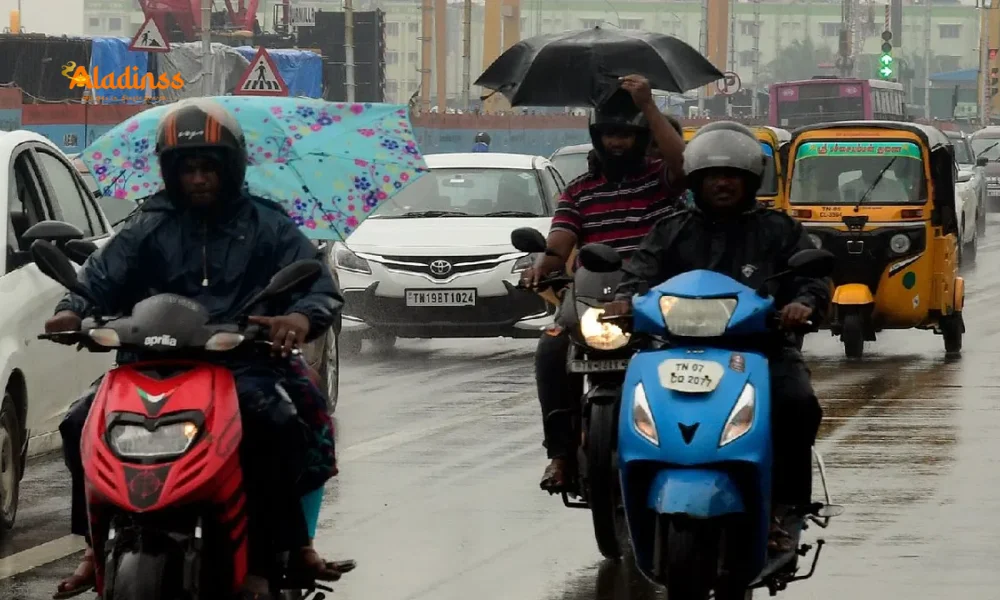
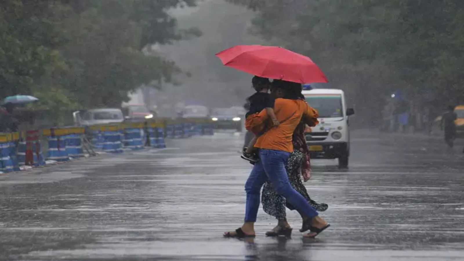
Residents in coastal and southern districts should brace for heavy rain in Tamil Nadu accompanied by thunderstorms, lightning, and gusty winds up to 40 kmph today. The IMD's bulletin highlights very heavy downpours in key delta areas, underscoring the need for vigilance amid the monsoon's vigor. This seasonal transition not only replenishes water tables but also tests urban infrastructure, with past events reminding us of the dual-edged nature of such weather patterns.
Today's forecast points to light to moderate showers with thunder at multiple locations statewide. Specifically, heavy to very heavy rain is anticipated in Mayiladuthurai, Nagapattinam, Thiruvarur, Thanjavur, Pudukkottai, Ramanathapuram, and Karaikal. Isolated heavy spells could also hit Cuddalore, Kanyakumari, Tirunelveli, Tenkasi, Thoothukudi, Virudhunagar, Theni, Dindigul, Madurai, and Sivaganga. These predictions stem from an upper-level circulation in the southeast Arabian Sea, intensifying moisture influx from the ocean.
District-Wise Rainfall Outlook for the Coming Days
As the IMD orange alert unfolds, tomorrow's weather map shows escalation in southern pockets. Heavy to very heavy rain is likely in Theni, Tenkasi, Tirunelveli, and Ramanathapuram, while heavy showers could drench Kanyakumari, Thoothukudi, Virudhunagar, Madurai, Sivaganga, Dindigul, Tiruppur, Coimbatore, Nilgiris, Erode, Kallakurichi, Villupuram, Chengalpattu, Kanchipuram, Chennai, Tiruvallur, Cuddalore, and the delta districts of Mayiladuthurai, Nagapattinam, Thiruvarur, Thanjavur, and Pudukkottai. Puducherry and Karaikal regions will mirror this intensity, with the IMD advising against complacency in low-lying areas prone to waterlogging.
The third day extends the pattern, with sustained heavy rains across central and northern Tamil Nadu. This prolonged activity is attributed to the convergence of easterly winds and a potential cyclonic circulation, which could amplify precipitation rates. Historical data from previous northeast monsoons indicates that such early vigor often leads to above-normal rainfall, benefiting agriculture but challenging transport networks. Farmers in paddy-rich deltas are optimistic, yet experts urge crop protection measures to mitigate any flash flood risks.
Chennai's Weather Scenario and Temperature Trends
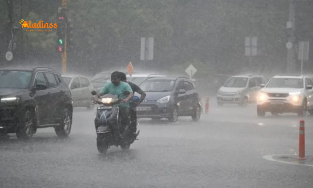
In the capital, Chennai rain forecast suggests partly cloudy skies today with moderate downpours and thunder at isolated spots. Temperatures will hover between a high of 30-31°C and a low of 24-25°C, offering a welcome respite from the pre-monsoon humidity. Urban dwellers should prepare for intermittent disruptions, as Chennai's drainage systems have improved but still face strain during peak intensity. The IMD's monitoring stations report rising humidity levels, a precursor to more consistent wetting spells through the weekend.
Over the next 72 hours, Chennai and its suburbs may see cumulative rainfall exceeding 50mm, potentially easing reservoir levels like Chembarambakkam. However, this also heightens landslide alerts in nearby hilly terrains. Commuters are encouraged to check live updates via the IMD app, while schools and offices might opt for flexible timings to ensure safety.
Marine Warnings and Cyclonic Wind Alerts
Fishermen along the south Tamil Nadu coast face heightened risks, with the IMD issuing a stern advisory against venturing into the Gulf of Mannar, Kumari Sea, Kerala coast, southeast Arabian Sea, and Lakshadweep-Maldives zones. Cyclonic winds of 35-45 kmph, gusting to 55 kmph, are forecast, driven by the evolving low-pressure dynamics. Traditional fishing communities in Tuticorin and Ramanathapuram have heeded similar calls in the past, averting losses during turbulent phases.
This marine caution extends to small vessels, with ports on high alert for rough seas. The Bay of Bengal's residual warmth is a key factor, potentially nurturing the low-pressure area into a more organized system by mid-week. Maritime authorities recommend alternative livelihoods like inland repairs during this window, ensuring economic continuity without endangering lives.
Understanding the Northeast Monsoon's Dynamics
The northeast monsoon onset Tamil Nadu 2025 marks a critical seasonal flip, where retreating southwest trades give way to moisture-laden northeasterlies from the Bay of Bengal. Typically arriving in late October, this year's advancement by nearly two weeks aligns with climate variability trends, influenced by La Niña patterns. The IMD's advanced modeling, incorporating satellite data and ocean buoys, has sharpened these predictions, allowing for proactive governance.
Tamil Nadu derives over 60% of its annual rainfall from this phase, vital for the Mettur dam and Krishna River basin. Yet, excesses have triggered calamities like the 2015 deluge, claiming hundreds. Current preparedness includes bolstered NDRF teams in vulnerable districts and real-time flood modeling by the state disaster management authority.
Potential Impacts and Preparation Tips
Beyond immediate downpours, the Tamil Nadu rain forecast could disrupt power supply in rural pockets and swell urban streams. Agriculture stands to gain from enriched soil moisture, but vegetable growers in Coimbatore and Erode must secure harvests against wind damage. Transportation hubs like Chennai airport have contingency plans, including runway drainage enhancements post-2023 upgrades.
To navigate this, residents should stock essentials, avoid flood-prone roads, and monitor IMD alerts via SMS. Local bodies in Thanjavur and Nagapattinam are distributing sandbags, while NGOs ramp up community drills. Health officials warn of vector-borne risks post-rain, advocating mosquito repellents and clean water practices.
- Secure loose structures against gusty winds.
- Check vehicle wipers and emergency kits.
- Coordinate with neighbors for elderly support.
Historical Context and Future Outlook
Reflecting on precedents, the 2021 northeast monsoon brought 20% excess rain, boosting reservoirs but overwhelming Chennai's suburbs. This year's early start, coupled with the Arabian Sea's low-pressure potential, suggests a dynamic season ahead. Climate scientists link such anomalies to warming oceans, urging sustainable water management.
Looking forward, the IMD anticipates normal to above-normal precipitation through November, aiding drought-prone interiors like Madurai. Collaborative efforts between central and state agencies will be pivotal, with tech like Doppler radars enhancing accuracy. As Tamil Nadu embraces this watery renewal, the orange alert serves as a timely nudge for resilience.
In summary, while the thunder lightning Tamil Nadu adds drama, proactive steps can turn challenges into opportunities. Stay informed, stay safe, and let the monsoon rejuvenate the land.
Comment / Reply From
No comments yet. Be the first to comment!