Wayanad - Kerala’s Enchanting Green Retreat
Wayanad:
Kerala’s Enchanting Green Retreat
Wayanad is a district situated in the north-east of Kerala, India, with its administrative headquarters in Kalpetta. It is renowned as Kerala's only plateau, extending as a continuation of the Mysore Plateau, part of the Deccan Plateau. The region is elevated within the Western Ghats, with altitudes ranging from 700 to 2,100 meters. The district's highest point is Vellari Mala, a peak reaching 2,240 meters, located at the junction of Wayanad, Malappuram, and Kozhikode districts.
Historical and Cultural Significance
Wayanad is home to several historically significant sites, including the Edakkal Caves, which are known for their ancient rock engravings. The district shares borders with Karnataka (Kodagu, Chamarajanagar, and Mysore districts) to the north and north-east, Tamil Nadu (Nilgiris district) to the south-east, Malappuram to the south, Kozhikode to the south-west, and Kannur to the north-west.
Notable cultural landmarks include:
- Pulpally: Home to Kerala’s only Lava-Kusha temple.
- Vythiri: Site of Kerala’s only Jain mirror temple.
- Varambetta Mosque: The oldest mosque in Wayanad.
Historical Events
Wayanad played a crucial role in the Cotiote War, where Pazhassi Raja, with support from the Kurichya tribe and the Hindu and Muslim communities of the Malabar region, led a revolt against British rule.
History
Pre-History and Early Kingdoms
Human settlements in Wayanad date back to at least 1,000 BCE, with evidence of New Stone Age civilization evident in the hills, including the Edakkal Caves with 6,000-year-old rock engravings. Recorded history of the area begins in the 18th century, with the land once ruled by the Rajas of the Veda tribe.
Ezhimala Kingdom
In ancient times, Wayanad was part of the Ezhimala Kingdom, with its capital at Ezhimala (present-day Kannur). The Ezhimala rulers, including the notable king Nannan, controlled the region up to Gudalur and the Nilgiris. The area was part of Karkanad and Poozhinadu, with inscriptions in the Edakkal Caves suggesting early Malayalam presence.
Kolathunadu and Kottayam
By the 14th century, the Mooshaka dynasty evolved into the Kolathiri rulers of Kolathunadu, extending from the Netravati River to Kozhikode and beyond. The Kottayam royal family, emerging in the 10th century, controlled a semi-independent principality. They extended their influence into North Wayanad and surrounding areas, including Thamarassery.
Medieval and Colonial History
Wayanad saw various rulers, including the Kadambas, Chalukyas, Hoysalas, and Vijayanagara dynasty. By the 17th century, the region was under Mysore's Wodeyars, and later came under British control. The British developed the plateau for cash crop cultivation, with significant agricultural development post-1900.
Post-Independence
Following India's independence, Wayanad became part of Kerala in 1956, initially as part of Kannur and then Kozhikode districts. It was officially established as a separate district on 1 November 1980. In 2024, landslides in Wayanad caused significant devastation, with at least 420 fatalities and 118 people missing.
Formation and Geography
Established on 1 November 1980, Wayanad was formed as the 12th district of Kerala, created from portions of Kozhikode and Kannur districts. It encompasses a forest area of 885.92 square kilometers. The district is characterized by its high plateau and rich biodiversity, and it includes three municipal towns: Kalpetta, Mananthavady, and Sulthan Bathery. Indigenous tribes inhabit the area, contributing to its cultural diversity.
Rivers and Natural Resources
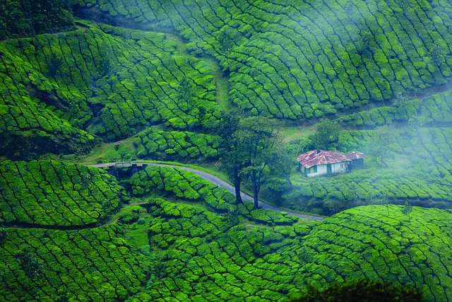
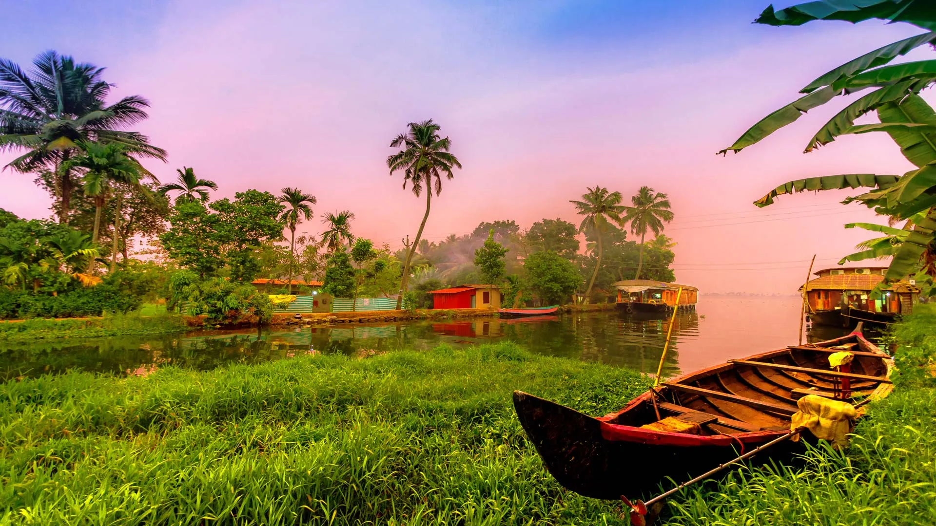
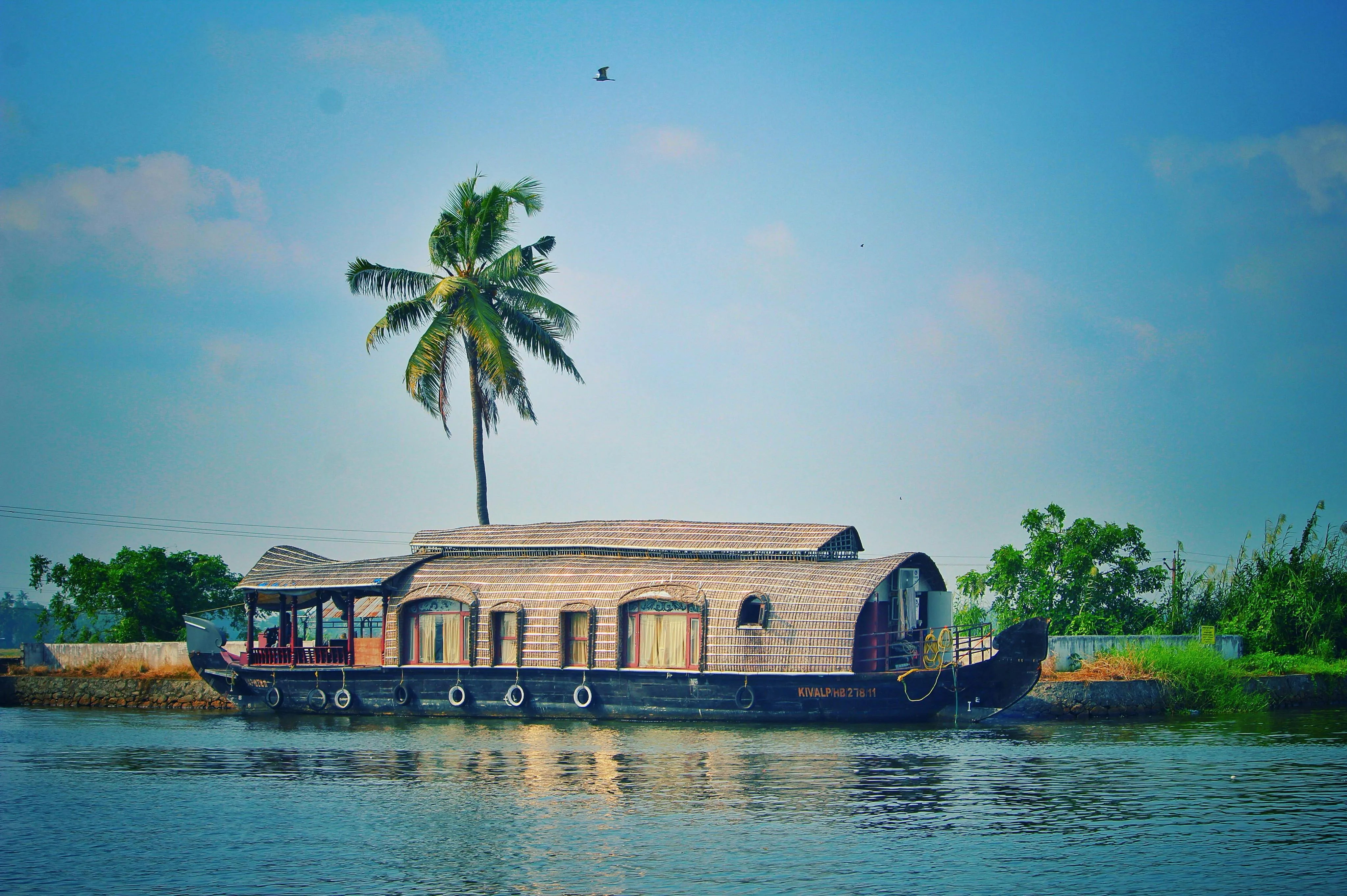
Wayanad is notable for its river systems, including the Kabini River, which is a tributary of the Kaveri River and originates in the district. The Chaliyar River, Kerala's fourth longest river, also originates on the Wayanad plateau. The district is recognized for its natural gold fields, which, along with the Chaliyar valley in the adjacent Nilambur region of Malappuram district, contribute to its mineral wealth.
Geography and Demographics of Wayanad District
Scenery and Landscape
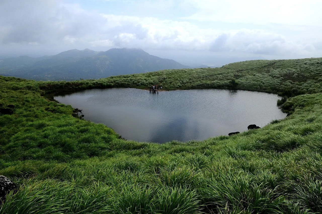
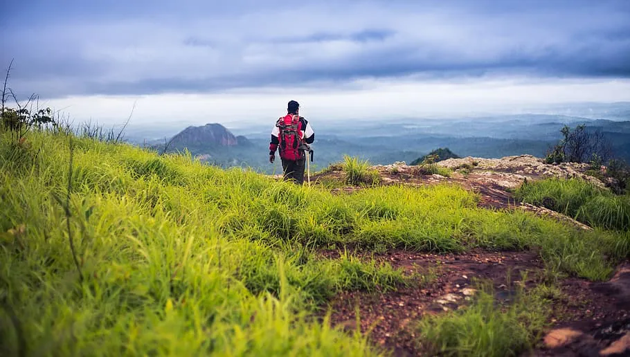
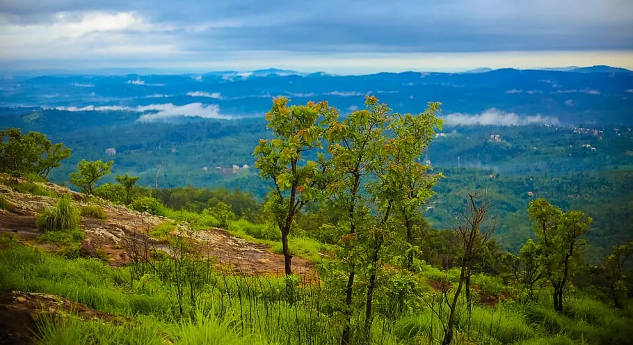
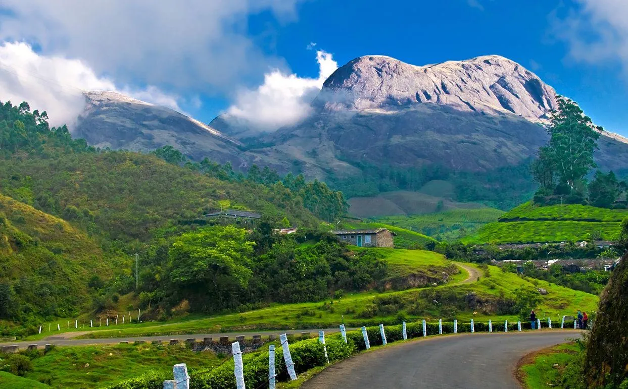
- Wayanad District is situated on the southern tip of the Deccan plateau and forms part of the Western Ghats. The western borders, adjacent to Kozhikode district, are covered with dense forest. The region is sloped towards the east and is known for its rich natural landscapes, including: Chembra Peak: The highest peak in the district at 2,100 meters, Banasura Hill: Close in height to Chembra Peak at 2,079 meters, Brahmagiri Hill: Another prominent trekking point.
- Protected Areas: The district is surrounded by a network of biological reserves:
Malabar Wildlife Sanctuary (West), Mudumalai National Park (South), Bandipur National Park (East), Nagarhole National Park (Northeast), Brahmagiri Wildlife Sanctuary (North), Aralam Wildlife Sanctuary (Northwest)
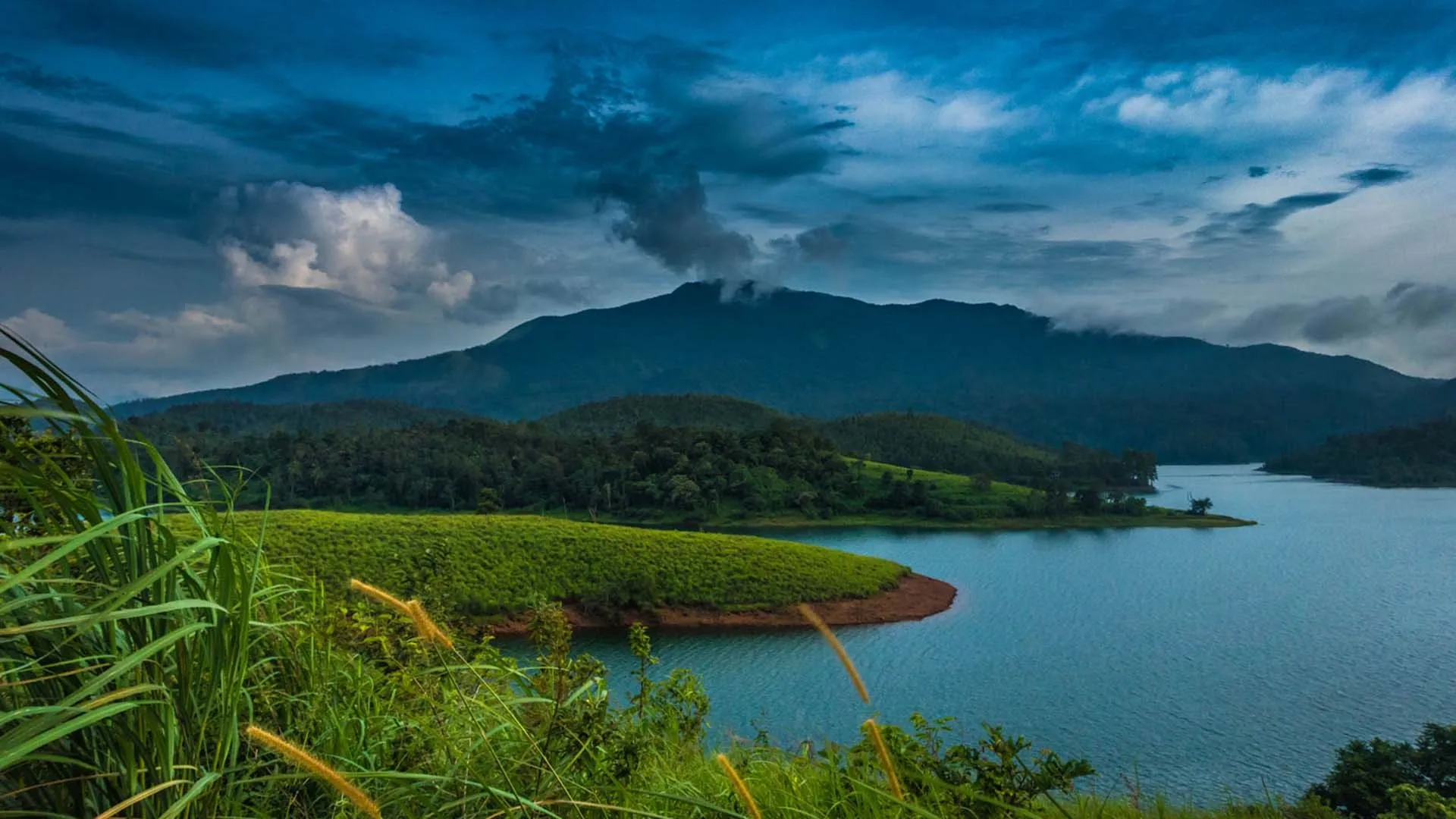
- Rivers: Wayanad is enriched with both east and west-flowing rivers. Key rivers include:
- Kabini River: A tributary of River Kaveri and one of the three east-flowing rivers in Kerala.
- Panamaram River: Flows into the Panamaram Valley and merges with the Mananthavady River.
Major Dams
- Banasura Sagar Dam: Constructed across the Karamanathodu River, it is the largest earth dam in India and the second largest in Asia. Located near Kalpetta, it supports irrigation and drinking water needs.
- Karapuzha Dam: Another significant earth dam on the Karapuzha River, serving irrigation needs for approximately 5,600 hectares in Vythiri and Sultan Bathery taluks.
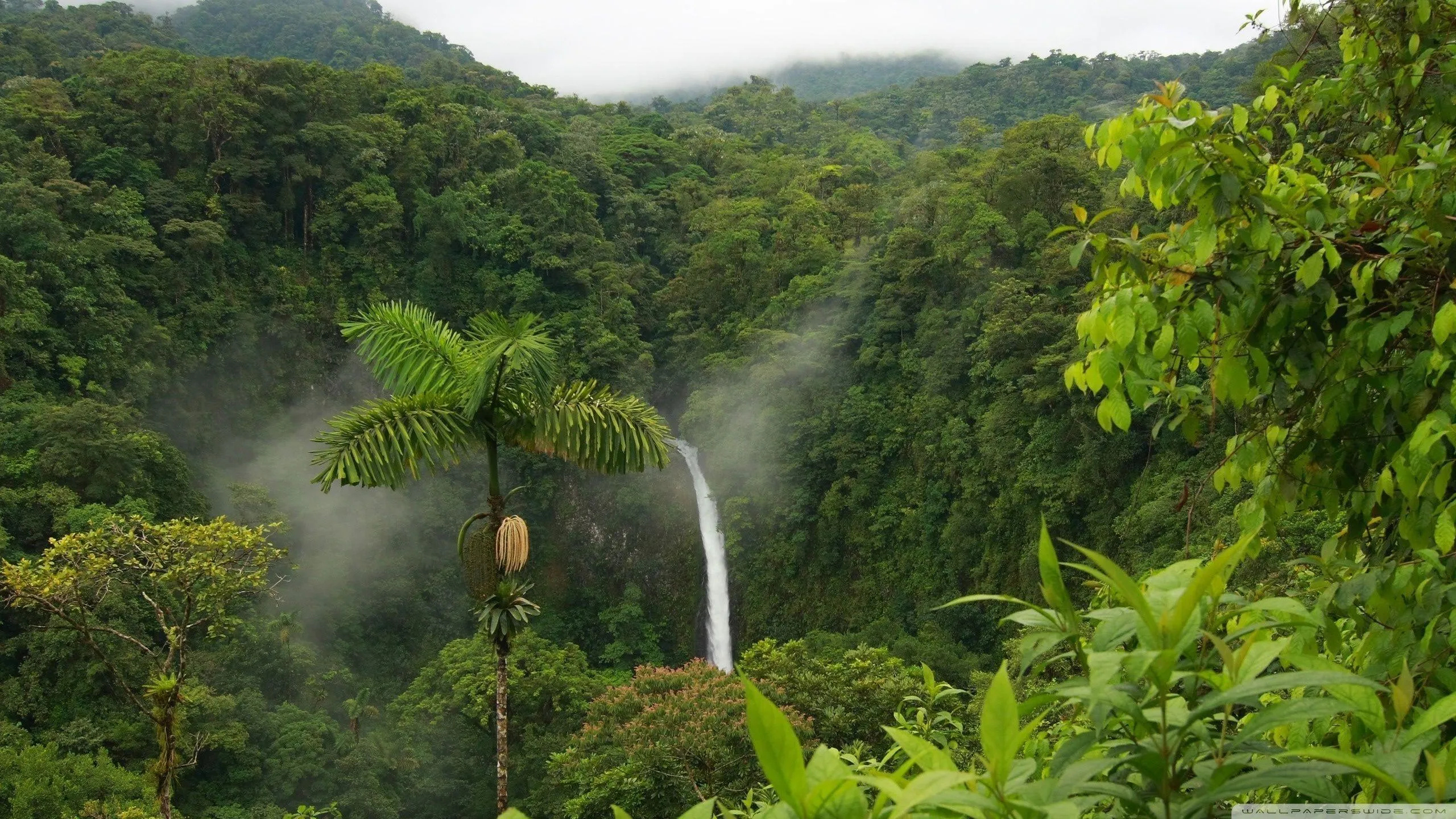
Flora and Fauna
- Flora: The region’s soil and climate are conducive to horticulture. The Kerala Agricultural University has a regional Agricultural Research Station at Ambalavayal to promote commercial vegetable cultivation and orchards.
- Fauna: Wayanad is home to diverse wildlife, including:
- Elephants and bears from neighboring wildlife sanctuaries.
- The recently discovered Franky's narrow-mouthed frog.
- The Wayanad laughingthrush, which is endemic to the Western Ghats.
- Tribes: Wayanad has the highest tribal population in Kerala, including:
- Adiyan: Traditionally agricultural laborers.
- Kattuniakkan: Forest-dwelling, hunting and gathering community.
- Kurichyan: Agriculturalists with expertise in hunting.
- Mullukkurman: Known for their hunting skills.
- Paniyan: Largest single tribal community, now primarily agricultural laborers.
- Thachaanadan Mooppan: Skilled in carpentry and basket making.
- Vettakkuruman: Known for their distinct language and patrilineal structure.
- Wayanad Kadar: Matrilineal community found in both Wayanad and Kozhikkode.
Wayanad, with its rich biodiversity and complex socio-cultural tapestry, remains a significant region in Kerala, blending natural beauty with a diverse population.
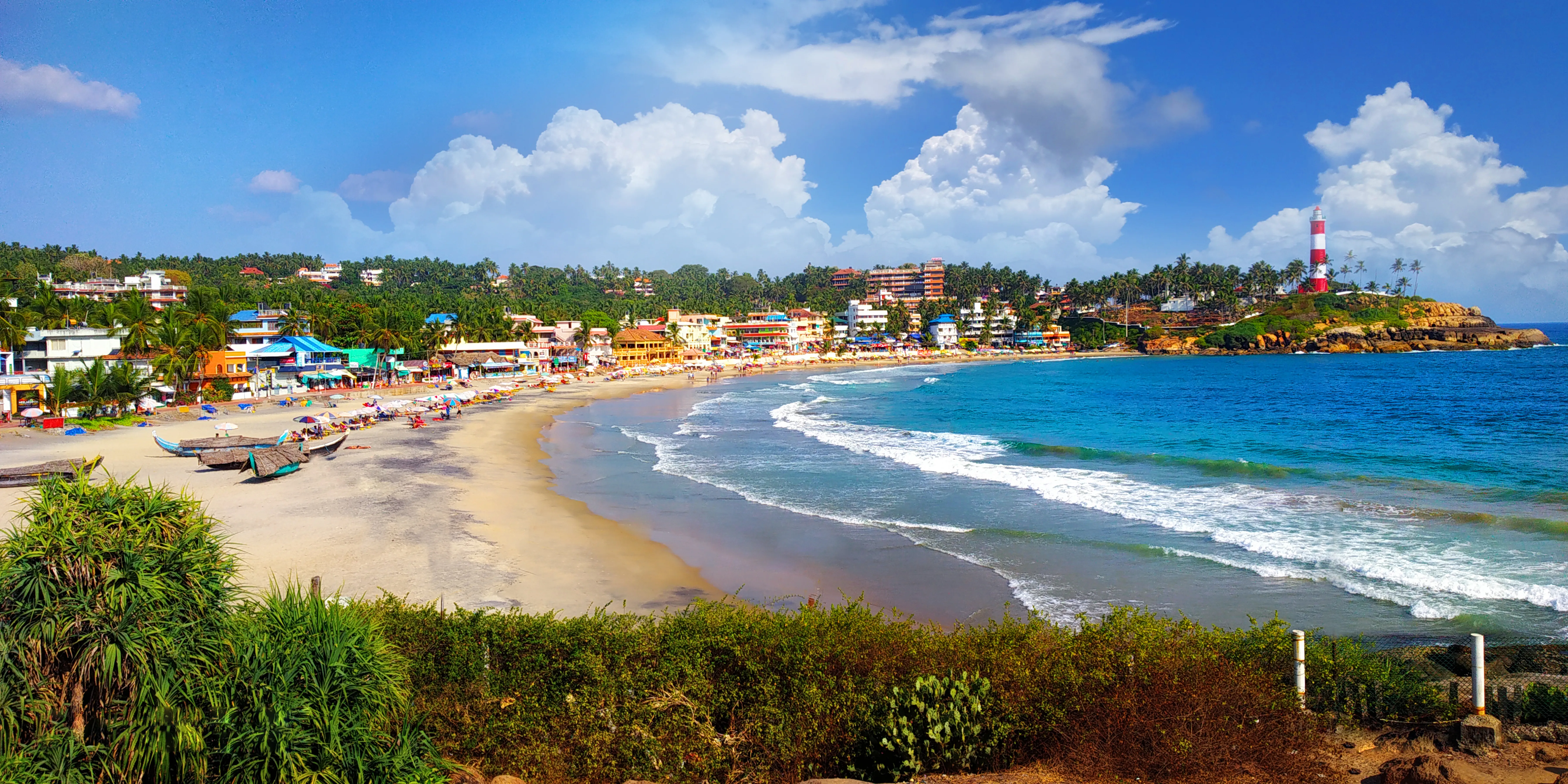
Tourism in Wayanad
Wayanad District boasts over 20 notable tourist destinations. The District Tourism Promotion Council (DTPC), operating under the Department of Tourism, Government of Kerala, manages all tourism-related activities in the area.
Transport in Wayanad
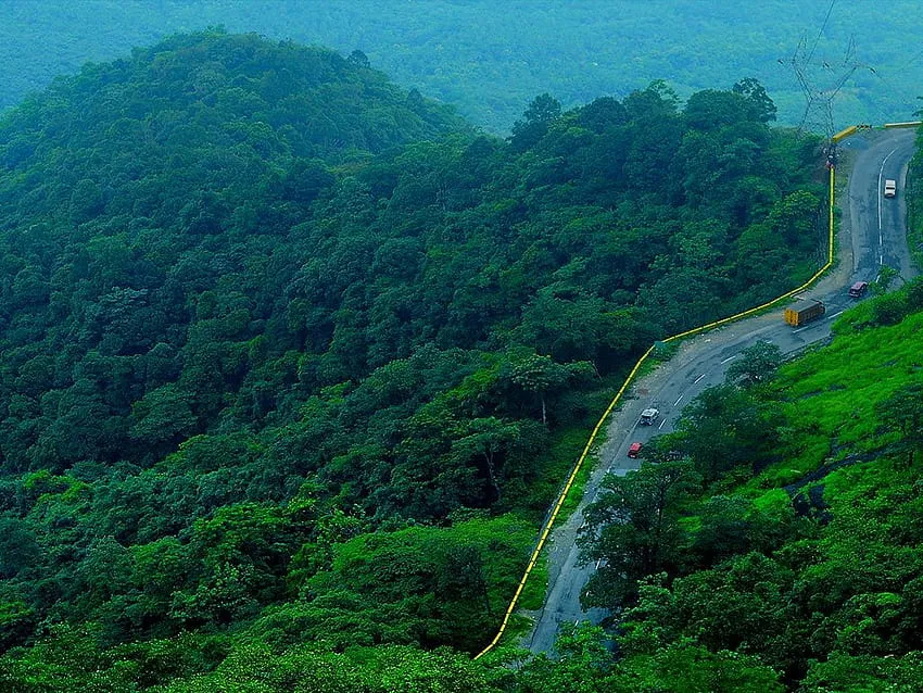
Wayanad is accessible via the Kozhikode–Kollegal National Highway 766 (formerly NH 212), which runs through the district. This highway connects Wayanad to Mysore and passes through Bandipur National Park beyond the district and state boundaries. The closest major airport to Wayanad is Calicut International Airport (Kozhikode International Airport), situated approximately 90 kilometers away.
**********************************
“In the heart of Wayanad, where every moment is a postcard.”
Facebook Comments


-
 Explore the upcoming Tamil film Maaman - cast, sto...
 -
 Read the ACE (2025) movie review starring Vijay Se...
 -
 Check out Maaman's 1st day box office collection a...
 -
 Explore tourist family reviews for Maaman movie –...
Popular Posts
Vote / Poll
Recent Posts


Recommended Posts

-
 Discover the best schools in Nagercoil f...
 -
 Discover the top-rated preschools in Nag...
 -
 Explore the best schools in Nagercoil th...

Comment / Reply From