munnar
Article Webpage

Munnar
The Jewel of South India
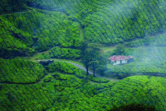
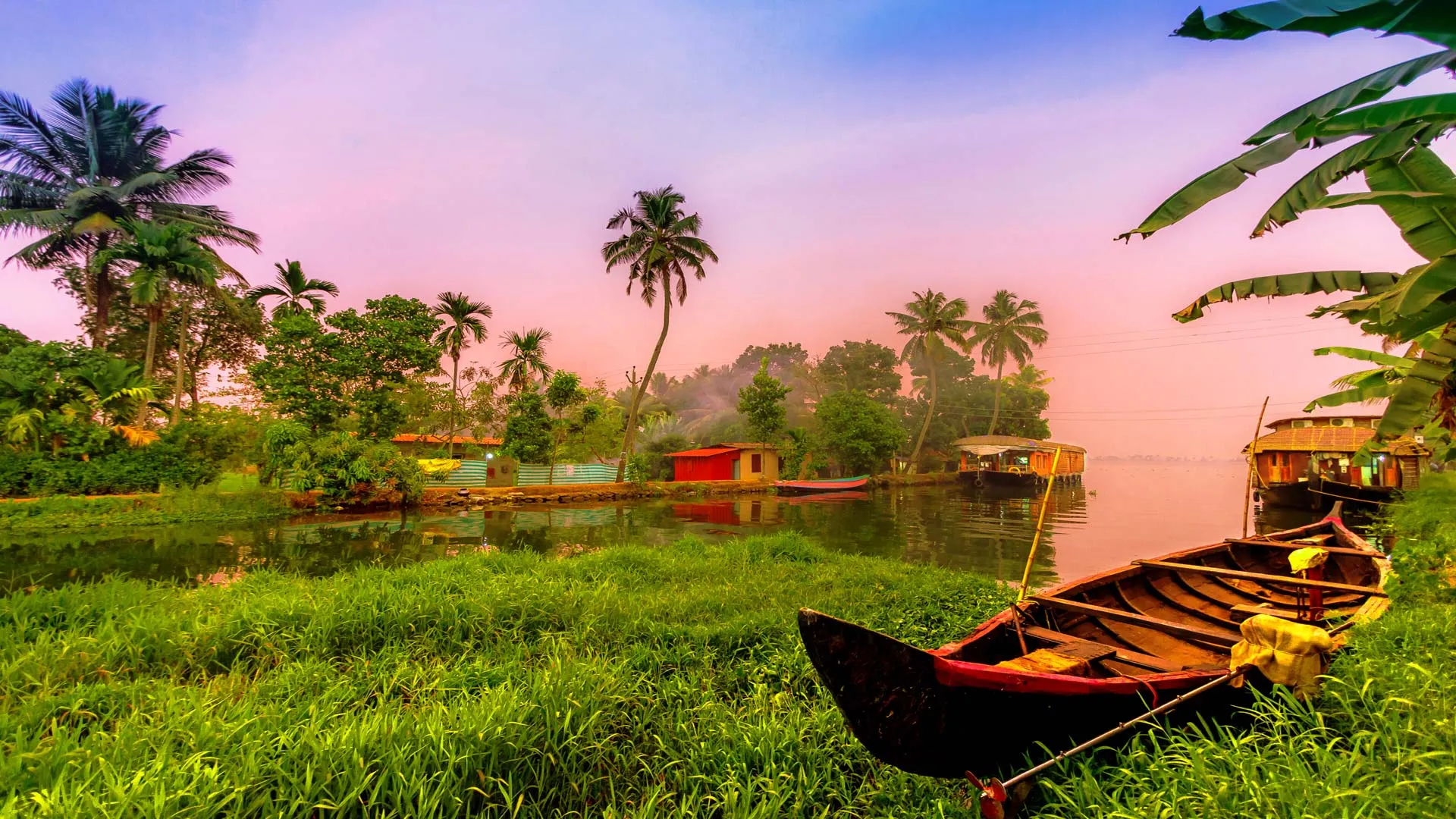
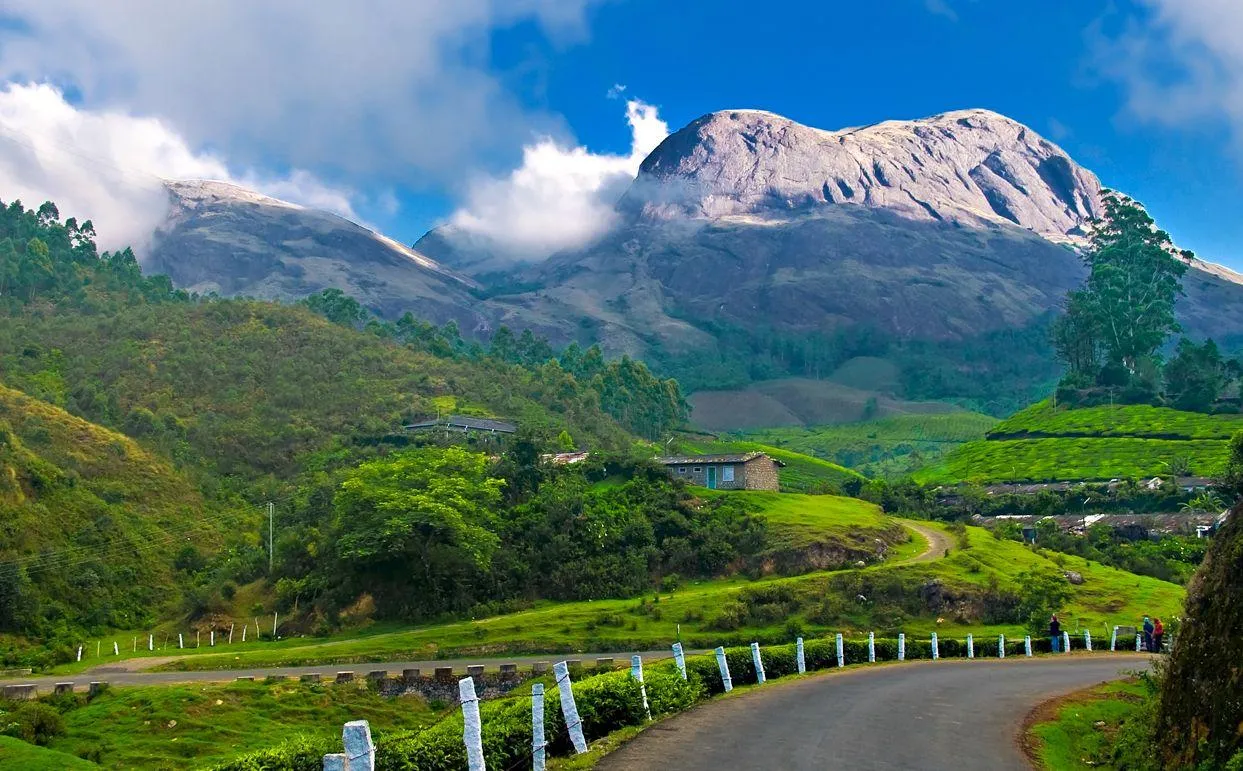
It is located in the Idukki district of Kerala, this wonderful town and hill station rests at an altitude of about 1,600 meters (5,200 feet) above sea level in the Western Ghats. Munnar is often referred to as the "Kashmir of South India," a place that is highly in demand by honeymooners and nature-lovers alike. The local words in Malayalam and Tamil, "Munnu" and "Aaru," respectively, literally mean "three rivers." This pretty town is situated at the confluence of the three rivers: Muthirapuzha, Nallathanni, and Kundali.
A glimpse into Munnar’s history
The Munnar region was originally inhabited by indigenous hunter-gatherer tribes—the Malayarayan and Muthuvan—for thousands of years. To start with, it was sparsely populated with Tamils and Malayalis, who were brought in first for work in the tea plantations. Local lore has it that colonel Arthur Wellesley, who was later to become the duke of wellington, was the first English man to cross Munnar during Tipu Sultan's invasion of Travancore, but this is not confirmed.
The first official record of this place was made by Benjamin Swayne ward for the period 1816-1817. Ward ascended the Periyar river to the western ghats and put his camp at the confluence of three rivers. It is here that the town came to be named as Munnar.
It was not until almost fifty years later, in 1860, that Sir Charles Trevelyan, the then Governor of Madras, asked Colonel Douglas Hamilton to explore the hill country lying to the west of the Madras Presidency and to advise him on the potential of the hills for sanatoria for British residents and for revenue-earning projects which would not, like the coffee plantations of Ceylon, destroy the rainforest and its rice-growing potential. Hamilton meticulously explored the area around Munnar, and about 15 years later John Daniel Munro realised that the land was ideal for growing coffee. In 1879, Munro, along with Henry Turn and his half-brother A.W. Turner purchased the Cardamom Hills from the Raja of Travancore and began to clear the forests surrounding Devikulam.
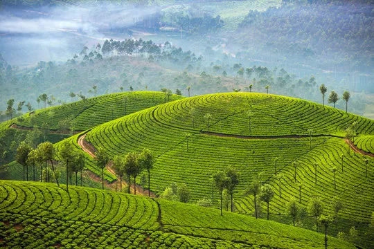
During the 1880s, other Europeans followed in the footsteps of Munro and established tea plantations in the surrounding areas. The early plantations were pretty basic; essentially just a collection of straw huts with minimal facilities.
Transportation
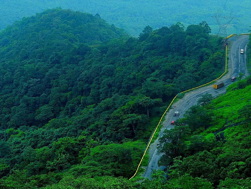
Munnar is well connected through National Highways, state highways, and rural roads. The town lies on the Kochi-Dhanushkodi National Highway, NH 49, at a distance of about 130 km from Cochin, 31 km from Adimali, 85 km from Udumalpettu in Tamil Nadu, and 60 km from Neriyamangalam.
Distance from major cities & tourist destinations.
Aluva - 109 km
Varkala - 245 km
Trivandrum - 280 km.
From Kochi - Ernakulam - 150km
Facebook Comments


-
 Explore the upcoming Tamil film Maaman - cast, sto...
 -
 Read the ACE (2025) movie review starring Vijay Se...
 -
 Check out Maaman's 1st day box office collection a...
 -
 Explore tourist family reviews for Maaman movie –...
Popular Posts
Vote / Poll
Recent Posts


Recommended Posts

-
 Discover the best schools in Nagercoil f...
 -
 Discover the top-rated preschools in Nag...
 -
 Explore the best schools in Nagercoil th...

Comment / Reply From