TN Rain Low Pressure Area Forms Tomorrow, Orange Alert
TN Rain Low Pressure Area Forms Tomorrow, Orange Alert Issued Across Six Districts
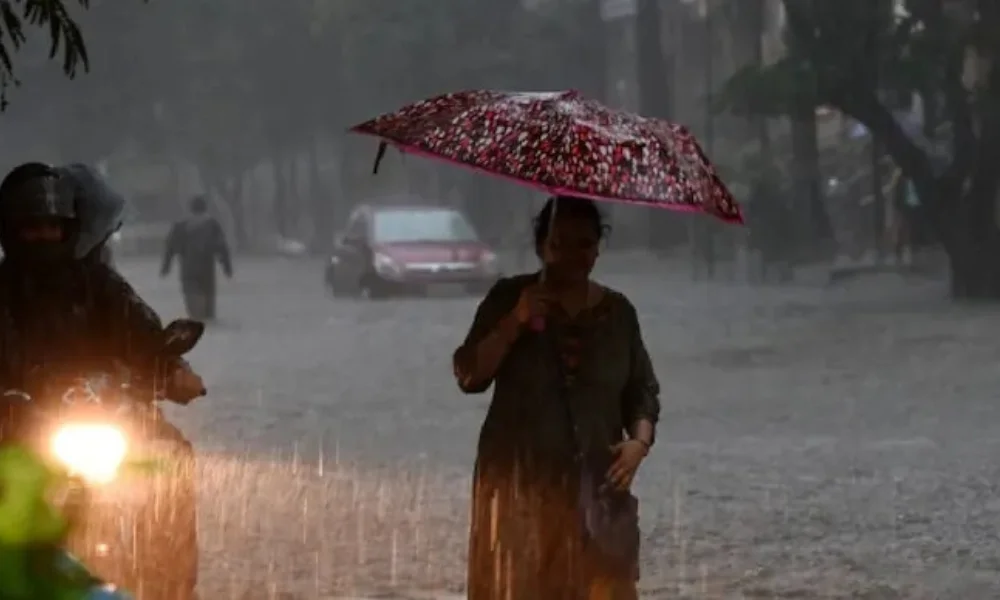
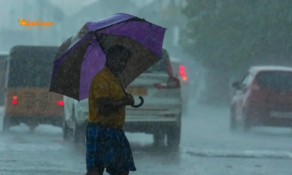
Tamil Nadu is set to witness intensified rainfall activity as a low pressure area is expected to form tomorrow, according to the latest weather update from the Meteorological Department. An orange alert has been issued for six districts, signaling the likelihood of heavy to very heavy rainfall in isolated places. This breaking news update has raised concerns among residents, especially in southern and western parts of the state where rainfall intensity is predicted to increase over the next 48 hours. Officials have urged people to stay alert, follow district advisories, and prepare for potential waterlogging, traffic disruptions, and localized flooding.
Atmospheric Conditions Behind TN Rain Development
The latest report indicates that an atmospheric low-level circulation currently persists over the Kumari Sea and the adjoining southwest Bay of Bengal. Simultaneously, an upper-air cyclonic circulation has formed over the southeast Arabian Sea and Lakshadweep region. The interaction between these two weather systems is expected to trigger the formation of a well-marked low pressure area near the Kerala-Karnataka coast by October 18. Meteorologists have noted that such systems during the northeast monsoon period can significantly enhance rainfall over Tamil Nadu, especially in coastal and interior districts.
Over the next 48 hours, the low pressure system is likely to move west-northwestward and gradually intensify. As moisture inflow from the Bay of Bengal strengthens, convective cloud formations are expected to increase, leading to widespread showers. Weather experts have described this development as a key factor influencing the current TN Rain pattern, marking a crucial phase in the ongoing monsoon season.
Orange Alert: Districts on High Vigil
The orange alert has been issued for Kanyakumari, Tirunelveli, Tenkasi, Thoothukudi, Virudhunagar, and Ramanathapuram districts. These regions are likely to receive heavy to very heavy rainfall accompanied by thunder and lightning. Authorities have warned that intense showers within short durations may result in temporary flooding in low-lying areas and water stagnation in urban centers. District administrations have been instructed to keep disaster response teams on standby and ensure stormwater drains are cleared to minimize damage.
In addition to the six high-alert districts, several other regions including Madurai, Sivaganga, Theni, Dindigul, Tiruppur, Erode, Nilgiris, Coimbatore, Mayiladuthurai, Nagapattinam, Thiruvarur, Thanjavur, Pudukkottai, and Karaikal are forecast to receive heavy rainfall in isolated pockets. Residents in these areas are advised to monitor the latest development and avoid unnecessary travel during peak rain hours.
Rainfall Forecast for Tomorrow and Following Days
According to the latest weather report, rainfall activity is expected to intensify tomorrow in districts such as Nilgiris, Coimbatore, Tiruppur, Theni, Dindigul, Erode, Salem, Namakkal, and Karur. Heavy rainfall at isolated places may disrupt routine activities including transportation, schooling, and local business operations. Authorities are reviewing conditions continuously and may issue district-level advisories if rainfall exceeds warning thresholds.
On the subsequent day, districts including Nilgiris, Coimbatore, Tiruppur, Erode, Salem, Theni, and Tenkasi are expected to witness heavy rainfall in select locations. As the low pressure area moves west-northwestward, rainfall distribution may gradually shift, influencing western and interior regions more significantly. Meteorologists have emphasized that real-time monitoring is ongoing to assess potential intensification and its impact on rainfall accumulation levels.
Impact on Coastal and Hilly Regions
Coastal areas may experience strong winds and rough sea conditions as the system strengthens. Fishermen have been advised not to venture into deep-sea regions until further notice. Ports along the Tamil Nadu coastline are closely monitoring sea conditions, and precautionary measures are being implemented to safeguard vessels and coastal communities. Sudden squally winds and high waves may pose risks to small boats and fishing operations.
In hilly districts such as Nilgiris, persistent rainfall may increase the possibility of minor landslides and road blockages. Travelers planning trips to hill stations are advised to check official advisories before departure. Authorities have deployed monitoring teams to vulnerable slopes and ghat roads to ensure safety during continuous rainfall spells.
Diwali Weather Update and Public Advisory
As Diwali approaches, the TN Rain update has added an element of uncertainty to festive preparations. Light to moderate rain accompanied by thunder and lightning is likely at many locations across Tamil Nadu, Puducherry, and Karaikal. Heavy rainfall at isolated places may occur in Nilgiris, Coimbatore, Theni, Virudhunagar, Ramanathapuram, Thoothukudi, Tirunelveli, and Kanyakumari. Families planning outdoor celebrations are encouraged to stay updated with district-wise forecasts and make arrangements accordingly.
Public safety guidelines recommend avoiding waterlogged roads, keeping electronic appliances protected from power surges during thunderstorms, and ensuring that emergency contact numbers are readily accessible. Municipal authorities are working to ensure stormwater drainage systems function efficiently during peak rainfall hours. Residents are advised to remain cautious and rely on verified weather updates for accurate information.
Facebook Comments


-
 Explore the upcoming Tamil film Maaman - cast, sto...
 -
 Read the ACE (2025) movie review starring Vijay Se...
 -
 Check out Maaman's 1st day box office collection a...
 -
 Explore tourist family reviews for Maaman movie –...
Popular Posts
Vote / Poll
Recent Posts


Recommended Posts

-
 Discover the best schools in Nagercoil f...
 -
 Discover the top-rated preschools in Nag...
 -
 Explore the best schools in Nagercoil th...

Comment / Reply From