Tamil Nadu Rain Warning: Moderate Showers Till August 26
Tamil Nadu Braces for Moderate Rain Till August 26, Says IMD
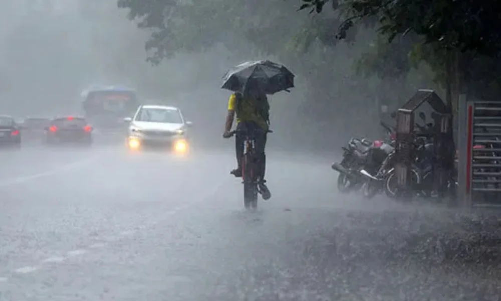
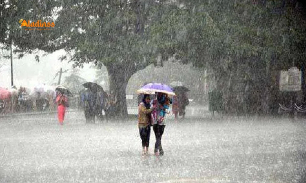
The India Meteorological Department (IMD) has issued a weather alert forecasting light to moderate rain across Tamil Nadu, Puducherry, and Karaikal for the next seven days, from August 20 to August 26, 2025. The rainfall is attributed to a change in the speed of westerly winds, expected to bring scattered showers and thunderstorms to several parts of the state.
Weather Forecast for Tamil Nadu
The IMD predicts light to moderate rain at isolated places in Tamil Nadu, Puducherry, and Karaikal on August 20, with conditions intensifying slightly from August 21 to 26. Rainfall may be accompanied by thunder and lightning in some areas, potentially causing minor disruptions. Residents are advised to stay updated with local weather alerts to prepare for possible waterlogging or traffic issues in urban centers.
Chennai Weather Outlook
In Chennai and its suburbs, partly cloudy skies are expected on August 20, with light rain likely at a few locations. The maximum temperature in the city will hover between 35-36°C, while the minimum temperature will range from 27-28°C. Residents in low-lying areas are cautioned about potential waterlogging, particularly during evening showers.
Fishermen Advised to Avoid Coastal Areas
The IMD has issued an advisory for fishermen due to cyclonic winds along coastal regions. Winds reaching 50-60 kmph, gusting up to 70 kmph, are expected over the North Konkan coast and adjoining central-east Arabian Sea. Cyclonic winds of 45-55 kmph, gusting to 65 kmph, are likely along the Mid-West and southwest Arabian Sea, South Konkan-Goa coast, and central-east-northeast Arabian Sea. The North Karnataka coast may see winds of 40-50 kmph, gusting to 60 kmph.
Fishermen are advised not to venture into the coastal areas of South Tamil Nadu, Gulf of Mannar, Kumari Sea, Midwest and East Central Bay of Bengal, North Bay of Bengal, and the coasts of North Andhra Pradesh and Odisha on August 20 due to turbulent sea conditions.
Impact and Precautions
While the moderate rainfall is not expected to cause widespread flooding, urban areas like Chennai, Coimbatore, and Madurai may face localized waterlogging in poorly drained zones. Local authorities are monitoring the situation, with disaster response teams on standby. Residents are urged to avoid unnecessary travel during heavy showers and report waterlogging or power outages to local authorities promptly.
Regional Weather Patterns
The IMD notes that the southwest monsoon has been active, delivering significant rainfall to coastal and delta districts like Nagapattinam and Cuddalore, while interior regions have seen sporadic showers. The change in westerly wind speed is driving the current weather system, with scattered showers expected to continue across Tamil Nadu through August 26.
Southwest Monsoon Activity
The southwest monsoon remains active over Tamil Nadu’s coastal and delta regions. Meteorologists explain that the variation in westerly wind speeds has enhanced moisture transport, resulting in convective cloud formation. While rainfall intensity may fluctuate daily, scattered showers are likely to persist across Tamil Nadu through August 26.
What to Expect Next?
Weather models indicate that rainfall may gradually reduce after August 26, depending on monsoon dynamics. However, localized convective showers may continue in isolated regions even after the advisory period ends. Authorities urge the public to follow official updates from the India Meteorological Department and district administrations for real-time weather information.
Facebook Comments


-
 Explore the upcoming Tamil film Maaman - cast, sto...
 -
 Read the ACE (2025) movie review starring Vijay Se...
 -
 Check out Maaman's 1st day box office collection a...
 -
 Explore tourist family reviews for Maaman movie –...
Popular Posts
Vote / Poll
Recent Posts


Recommended Posts

-
 Discover the best schools in Nagercoil f...
 -
 Discover the top-rated preschools in Nag...
 -
 Explore the best schools in Nagercoil th...

Comment / Reply From