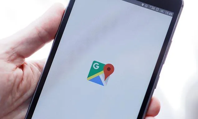
Google Maps testing safer walking routes for night travel
Google Maps testing night-safe walking routes
Google Maps May Soon Recommend Safer Walking Routes at Night

In a move to enhance user safety, especially in urban areas, Google Maps is reportedly testing a new feature that recommends safer walking routes for pedestrians traveling after dark. The experimental tool is designed to guide users through well-lit and more populated streets during nighttime hours.
While not yet available publicly, the feature is being tested in beta and could soon become part of the mainstream Google Maps experience on both Android and iOS platforms. Google has not confirmed the global rollout timeline but has indicated a strong interest in addressing nighttime safety concerns, particularly in densely populated regions and cities with higher rates of pedestrian incidents.
How It Works
According to early testers and reports, the feature uses a combination of public lighting data, traffic density, pedestrian activity, and historical safety data to calculate the "safest" available route. Rather than simply showing the shortest or fastest path, Google Maps may offer an alternative walking route that prioritizes visibility and human presence—especially useful for people navigating unfamiliar neighborhoods at night.
In addition, the app may alert users if a proposed route passes through areas with limited street lighting, low activity levels, or known safety concerns. The feature aims to balance convenience with personal safety, providing users with greater control over their travel decisions after dark.
Why It Matters
Walking alone at night can be a safety risk in many cities around the world. With this update, Google acknowledges that navigation apps can play a vital role in personal safety—not just convenience. The feature may benefit late-night commuters, travelers, and residents in areas where street lighting is inconsistent or crime rates are elevated.
This innovation aligns with Google’s broader goal of integrating real-world conditions into its navigation systems. In previous updates, Google Maps introduced features like eco-friendly routing, real-time weather overlays, and accessibility-friendly directions. This night-safety enhancement follows the same pattern—making navigation smarter and more user-aware.
User Reactions and Future Outlook
While the feature is still under development, early feedback has been positive. Users have praised the concept of integrating safety metrics into walking navigation, suggesting that it could reduce anxiety and improve confidence when traveling alone at night.
However, some experts have raised concerns about data accuracy and availability. The effectiveness of the feature may depend heavily on local infrastructure data, which may not always be updated or consistent across regions. Still, Google's scale and data partnerships could help mitigate this issue over time.
If successful, the safer night route feature could set a new standard for navigation apps, encouraging competitors like Apple Maps or Waze to follow suit.
How to Access It
As of now, the feature is not available for all users. It may be rolled out first to select beta testers or Google Maps preview users. Google typically tests features in limited regions before global deployment, so users are advised to keep their apps updated and watch for official announcements.
Stay tuned for more updates as this new Google Maps safety feature approaches release.
Comment / Reply From
You May Also Like
Popular Posts
Newsletter
Subscribe to our mailing list to get the new updates!


