Northeast Monsoon Tamil Nadu: 22 Districts Alert
October 16, 2025
Northeast Monsoon Hits Tamil Nadu: IMD Issues Heavy Rain Warnings for 22 Districts
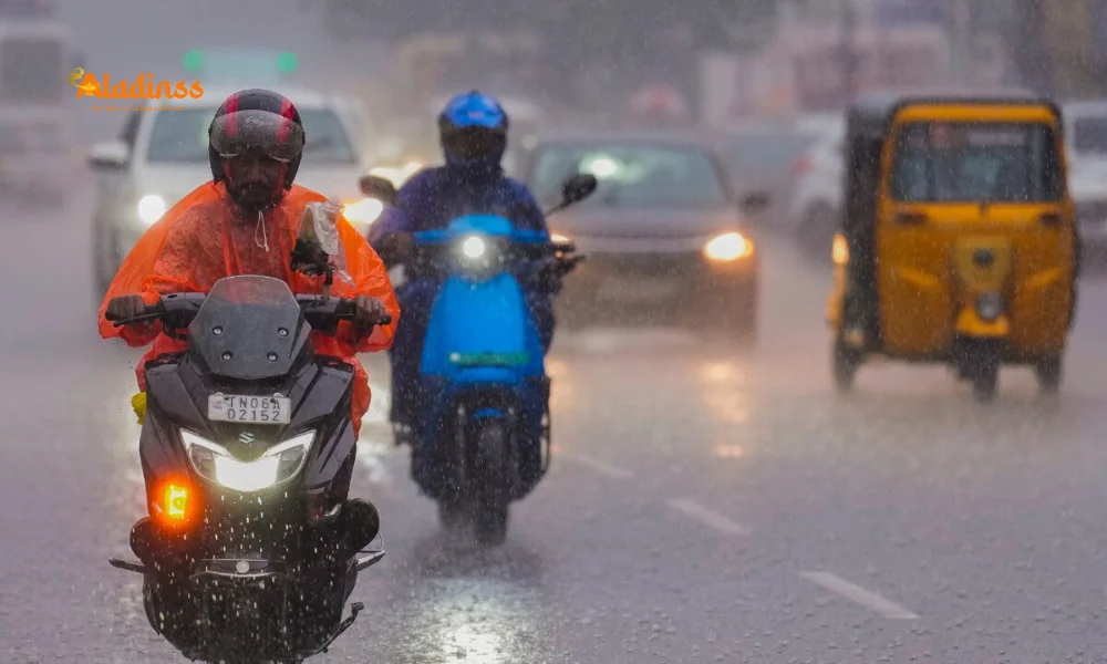
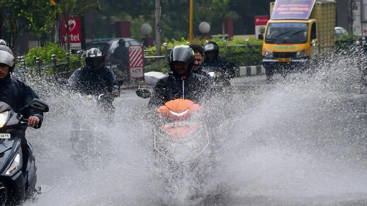
The northeast monsoon Tamil Nadu has officially commenced on October 16, 2025, bringing intense showers and prompting the India Meteorological Department (IMD) to issue heavy rain warnings for 22 districts across the state. This seasonal shift, critical for the region's agriculture and water resources, is expected to deliver very heavy downpours in Theni, Tenkasi, Tirunelveli, and Ramanathapuram, with isolated thunderstorms enhancing the deluge. As atmospheric low pressure swirls in the southwest Bay of Bengal, moderate rains accompanied by lightning are forecasted statewide, marking a vigorous start to the monsoon that could span until October 20.
IMD's bulletin highlights the onset over Tamil Nadu, Puducherry, Karaikal, Kerala-Mahe, South Interior Karnataka, Rayalaseema, and South Coastal Andhra Pradesh, with Tamil Nadu bearing the brunt through October 17. Heavy precipitation is anticipated in Kanyakumari, Thoothukudi, Virudhunagar, Madurai, Sivaganga, Dindigul, Tiruppur, Coimbatore, Nilgiris, Erode, Kallakurichi, Villupuram, Chengalpattu, Kanchipuram, Chennai, Tiruvallur, Cuddalore, Mayiladuthurai, Nagapattinam, Thiruvarur, Thanjavur, and Pudukkottai, alongside Puducherry and Karaikal regions. This early vigor, up to 75% coverage, underscores the monsoon's role in replenishing reservoirs amid erratic climate patterns.
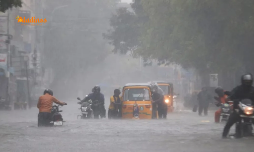
Chennai and its suburbs face prospects of heavy rains with thunder and lightning today, while Diwali festivities in Nilgiris, Coimbatore, Erode, and Tiruppur may be dampened by similar conditions. Recent lashes have already tested infrastructure, signaling a wet season ahead that demands vigilant preparedness from residents and authorities alike.
IMD Forecast: District-Wise Breakdown of Heavy Rain Alerts
The IMD's detailed prognosis for the northeast monsoon Tamil Nadu emphasizes isolated very heavy falls (over 115 mm in 24 hours) in the southern quartet of Theni, Tenkasi, Tirunelveli, and Ramanathapuram, where ghat sections amplify runoff risks. These areas, prone to landslides, could see disruptions in connectivity, urging travelers to check highway advisories. Heavy rains (64.5-115 mm) are slated for the coastal and inland belts, including Kanyakumari's beaches and Thoothukudi's ports, where gusts up to 50 kmph may hamper fishing fleets.
Virudhunagar and Madurai, agricultural powerhouses, anticipate substantial showers that could benefit standing crops but threaten early harvests. Sivaganga and Dindigul's delta regions face waterlogging in lowlands, while Tiruppur's textile hubs in the west prepare for factory inundations. Coimbatore, Nilgiris, and Erode's elevated terrains heighten flash flood potentials, with the Nilgiris' tea estates particularly vulnerable to erosion.
Northern stretches like Kallakurichi and Villupuram, alongside Chengalpattu and Kanchipuram, expect downpours that may swell Palar River tributaries. Chennai's metropolitan sprawl, including Tiruvallur's outskirts, braces for urban chaos with moderate to heavy spells laced with thunder, potentially overwhelming stormwater drains upgraded post-2015 floods. Coastal enclaves from Cuddalore to Pudukkottai, via Mayiladuthurai, Nagapattinam, Thiruvarur, Thanjavur, and Pudukkottai, mirror this, with Puducherry and Karaikal sharing the brunt under unified alerts.
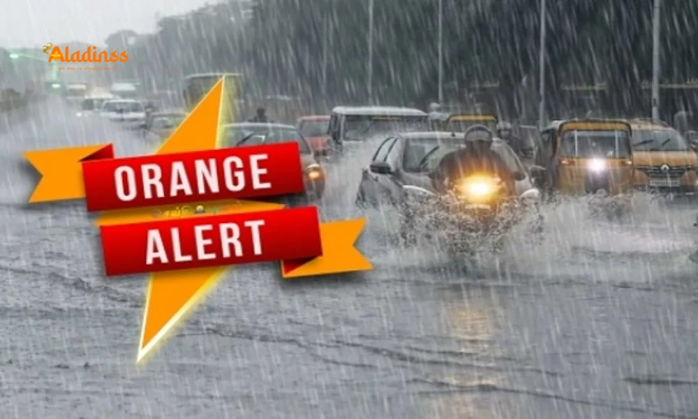
- Very Heavy: Theni, Tenkasi, Tirunelveli, Ramanathapuram (Orange Alert).
- Heavy: Kanyakumari, Thoothukudi, Virudhunagar, Madurai, Sivaganga, Dindigul, Tiruppur, Coimbatore, Nilgiris, Erode.
- Heavy: Kallakurichi, Villupuram, Chengalpattu, Kanchipuram, Chennai, Tiruvallur, Cuddalore, Mayiladuthurai, Nagapattinam, Thiruvarur, Thanjavur, Pudukkottai.
Atmospheric Drivers: Low Pressure and Thunderstorm Dynamics
Fueling this northeast monsoon Tamil Nadu surge is a cyclonic circulation over the southwest Bay of Bengal, fostering widespread moderate rains with embedded thunderstorms and lightning across Tamil Nadu today. This low-pressure system, migrating from the Andaman Sea, draws moist easterlies that clash with retreating southwest winds, birthing convective clouds ripe for intense bursts. Such setups, common in October, contribute 30-40% of the state's annual rainfall, vital for refilling 39 major reservoirs currently at 45% capacity.
The IMD anticipates this vigor through October 20, with back-to-back lows ensuring sustained activity, potentially exceeding normal by 20% in southern districts. Diwali on October 20 may coincide with peak spells in western hills like Coimbatore and Erode, where lightning risks could mar celebrations. Chennai's forecast mirrors this, with 10-15 cm accumulations possible, testing the city's Rs 10,000 crore flood mitigation blueprint.
Climatologists link this early onset to La Niña influences, promising a bountiful season but warning of urban vulnerabilities in Chennai and Madurai, where concretization exacerbates runoff.
Potential Impacts: From Agriculture to Urban Disruptions
For Tamil Nadu's 5.5 crore farmers, the northeast monsoon Tamil Nadu heralds relief after a subdued southwest phase, irrigating 2.5 million hectares of paddy in the Cauvery delta. Yet, untimely heavies in Thanjavur and Nagapattinam could submerge seedlings, echoing 2023's Rs 2,000 crore losses. Banana and sugarcane belts in Sivaganga and Virudhunagar risk wind snaps, prompting the Agriculture Department to distribute tarpaulins and quick-drain kits.
Urban centers like Chennai and Coimbatore grapple with waterlogging hotspots: Adyar, Perambur, and Avinashi Road may see knee-deep floods, delaying commutes for 1.2 crore daily travelers. Power grids in Erode and Tiruppur, vital for textiles, face outage threats from fallen lines, while Nilgiris' tourism dips with trail closures amid landslide fears.
Health officials flag vector surges post-rains, advising mosquito nets in coastal Cuddalore and Nagapattinam. Economically, ports in Thoothukudi and Chennai could halt cargo, impacting $50 billion annual trade, while inland Madurai's markets slow under deluge.
Government Preparedness: Alerts, Evacuations, and Relief Measures
Chief Minister M.K. Stalin has mobilized 10 NDRF teams for high-risk zones like Tirunelveli and Kanyakumari, with district collectors empowered for school holidays and evacuations. The Tamil Nadu Disaster Management Authority's helpline (1077) buzzes with queries, disseminating SMS alerts to 90% of mobiles. Relief camps in Ramanathapuram stock 50,000 food kits, while pumps clear Chennai's 500 km drainage network.
Irrigation boards monitor Tamiraparani and Vaigai dams, releasing waters proactively to avert breaches. Fishermen in Pudukkottai and Nagapattinam heed bans till October 18, safeguarding 2 lakh livelihoods. Educational boards pivot to online modules for affected schools, ensuring continuity amid closures in 15 districts.
Long-term, the Rs 5,000 crore monsoon action plan targets resilient infrastructure, from elevated roads in Villupuram to smart sensors in Chengalpattu.
Historical Parallels and Future Projections
This northeast monsoon Tamil Nadu echoes 2015's Chennai catastrophe, where 500 mm in days overwhelmed the city, but lessons from Cyclone Gaja (2018) and Michaung (2023) fortify responses-evacuating 1 lakh preemptively then saved lives. Projections for 2025 suggest above-normal rains (1,000 mm vs 900 mm average), boosting GDP by 2% via agri output but straining urban budgets.
IMD's ensemble models forecast moderation post-Diwali, with isolated spells into November. Experts advocate climate-resilient crops in Dindigul and afforestation in Tenkasi to buffer extremes.
Comment / Reply From
No comments yet. Be the first to comment!